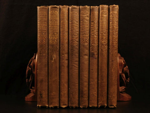
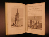
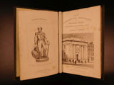
1845 Dugdale Great Britain Illustrated MAPS Scenery Churches CASTLES Railroads
“Curiosities of Great Britain” by Thomas Dugdale and cartographic publisher John Tallis, encompasses a comprehensive view of England and Wales. Dugdale is perhaps best known for his finely detailed small and finely detailed county maps, of which many examples are found in “Curiosities”.
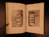
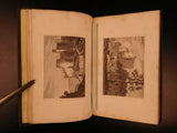
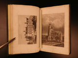
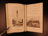
The publisher, John Tallis and Company, published views, maps and atlases in London from roughly 1838 to 1851; providing an approximate date for this work being 1845. This set is filled with engraved plates and maps all throughout! Illustrations include:•The New House of Parliament
•The Admiralty
•Map of England & Wales with its Railroads and Canals
•Map of Bedforshire
•Map of Berkshire
•Map of Cornwall
•Barmard Castle
•Map of Devonshire
•And so many more!
DUGDALE, Thomas
[Curiosities of Great Britain:] England and Wales delineated, historical, entertaining, and commercial.
London: Published by L. Tallis [1845]
Details:
•Collation complete with all pages; 8 Volumes (of 11):
oVolumes 1-4; 6; 8; 10-11
•Language: English
•Binding: Hardcover; tight & secure
•Size: ~9in X 6in (23cm x 15cm)

