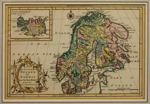
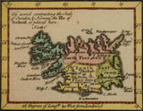
Antique Map, Sweden and Norway, 18th C. ( 1700s ) 1765, Collector's Item, Rare item!
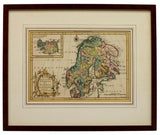
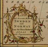
Framed map, c. 1765, "A New and Accurate Map of Sweden and Norway from the Sieur Roberts Atlas with Improvements", Sr. Robert (Gilles Robert de Vaugondy, France,1688–1766), J. Gibson Engraver (British, actv. 1750-1792), hand colored, map of Iceland inset at upper left, sight: 8"h, 11.7/8"w, overall: 14.5"h, 17.75"w, 3lbs
Wear and imperfections commensurate with age and use.
"Old World Elegance at Reasonable Prices!"


